How Are Weather Forecasts Made? The Science Explained
How are weather forecasts made? Where weather data comes from, how supercomputers predict it, why forecasts go wrong, and how far ahead to trust them.
Before heading out, you check the weather app: umbrella or not? Cold tomorrow? Behind that little number on the screen is a remarkable chain of measurements, satellites and supercomputers. So how are weather forecasts made, and why are they sometimes spot on and sometimes way off?
The core idea: the atmosphere obeys physics
Air moves, warms, cools and carries water vapour according to well-understood physical laws. If we know the state of the atmosphere now accurately enough, we can calculate its state hours and days later using mathematical equations. The Norwegian scientist Vilhelm Bjerknes set out this idea in 1904, and it is the foundation of what is now called numerical weather prediction.
Step 1: observe the weather everywhere
You can’t predict the future without knowing the present, so weather services collect millions of readings every day:
| Data source | What it measures |
|---|---|
| Ground weather stations | Temperature, humidity, pressure, wind and rainfall |
| Weather balloons (radiosondes) | Conditions up to more than 20 km high |
| Satellites | Clouds, temperatures and water vapour over land and sea |
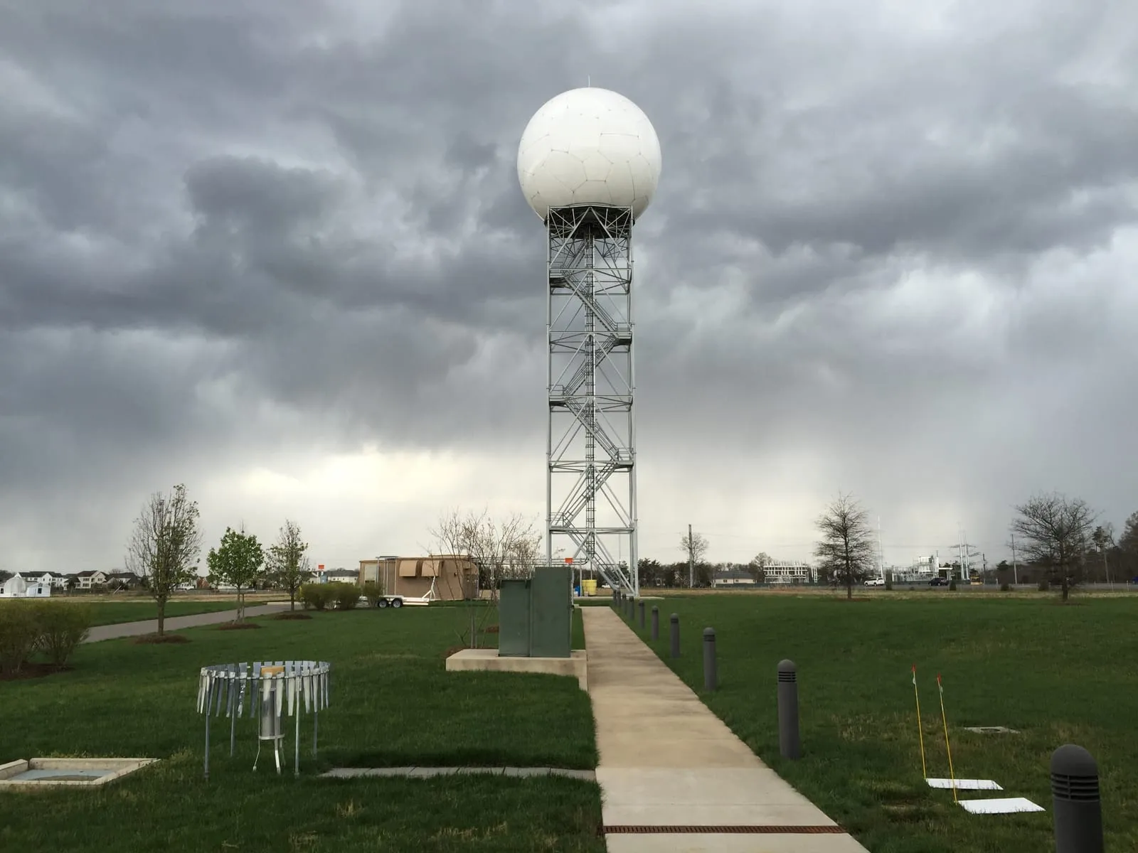
| Weather radar | Where rain and storms are, and how intense |
| Aircraft, ships and buoys | Readings over the oceans and in the upper air |
Countries share this data routinely through a network coordinated by the World Meteorological Organization, because the weather in any one place is shaped by what’s happening thousands of kilometres away.
Step 2: supercomputers and mathematical models
Weather models divide the atmosphere into a huge three-dimensional grid of boxes, then calculate how temperature, pressure, wind and moisture will change in each box, step by step, into the future. That takes an enormous number of calculations, which is why major weather centres run some of the most powerful supercomputers in the world.
Because observations are never perfect, centres run the model dozens of times with slight tweaks to the starting data, a technique called ensemble forecasting. If the runs agree, confidence is high; if they spread out, the weather is genuinely uncertain.
Step 3: the forecaster’s judgement
Computer output isn’t the final forecast. Meteorologists compare several models, check them against what’s actually happening, and add local knowledge about mountains, coastlines and deserts before issuing forecasts and warnings. That’s where “40% chance of rain” comes from: roughly, similar conditions produce rain about 4 times in 10.
Did you know? Around 1922, British scientist Lewis Fry Richardson tried to calculate a one-day forecast by hand. It took him about six weeks, and the result was wildly unrealistic. In 1950 a team of scientists ran the first computer forecast on ENIAC, but a 24-hour forecast took roughly 24 hours to compute!
Why do forecasts sometimes go wrong?
The main reason is that the atmosphere is a chaotic system. In the 1960s American meteorologist Edward Lorenz discovered that tiny differences in starting conditions can grow until they change the outcome completely, the idea popularly known as the “butterfly effect”. As a result:
- Forecasts for today and tomorrow are usually accurate.
- Forecasts out to about 5–7 days remain useful, with accuracy gradually falling.
- Beyond about 10 days skill drops sharply, and many scientists put the theoretical limit for detailed forecasts at around two weeks.
So “monthly forecasts” are really broad outlooks, such as whether the month is likely to be warmer or wetter than usual, not a reliable forecast for a specific day.
The good news is that accuracy keeps improving. A 2015 scientific review noted that today’s six-day forecast is as accurate as the five-day forecast was ten years earlier, about one extra day of skill per decade. In recent years weather centres have also started using artificial intelligence models trained on decades of weather data.
Frequently asked questions
What is the most accurate source of weather forecasts?
Usually your country’s official meteorological service, which combines global models with local expertise and issues official warnings.
Why do two weather apps disagree?
Each app may rely on a different model or process the results differently, especially for days further ahead.
Can thunderstorms be predicted precisely?
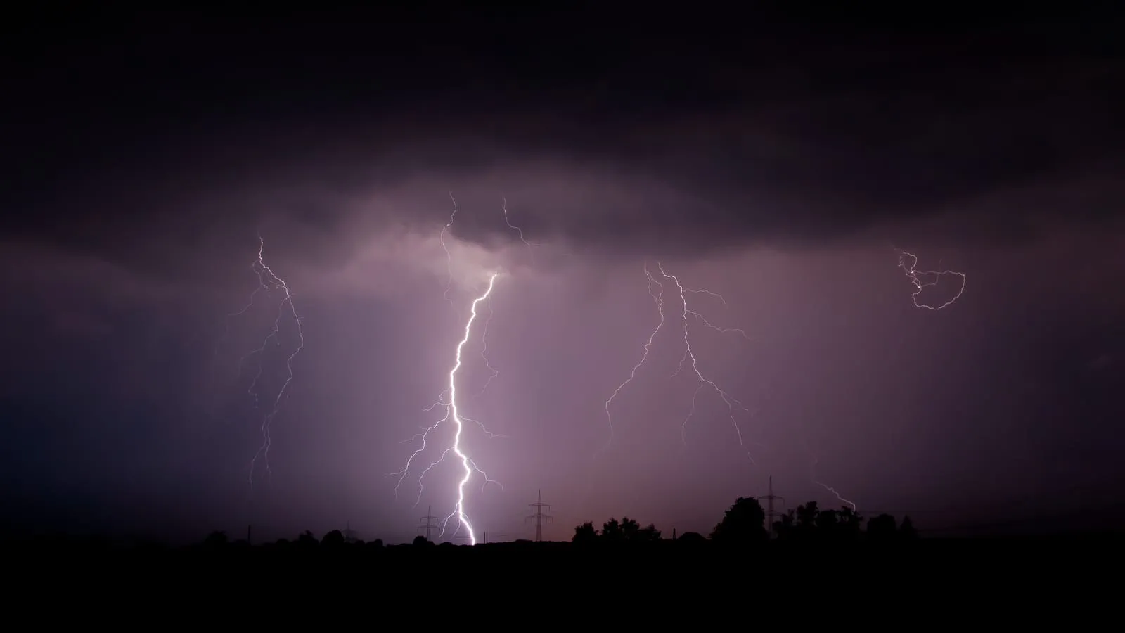
Forecasters can predict the conditions that make storms likely, but pinpointing each storm is hard because they are small and fast-moving. Read more in what is a thunderstorm.
What does “feels like” temperature mean?
It estimates how warm or cold it feels to your body once wind and humidity are taken into account, and it can differ from the measured air temperature.
Key takeaway
Weather forecasting has three steps: observe the atmosphere now from thousands of sources, calculate the future with physics on supercomputers, and let meteorologists review the result. Forecasts for the next few days are quite reliable, and uncertainty grows the further ahead you look. Follow your official weather service, and check again before you head out.