What Is a Low Pressure System? How It Forms and Why It Rains
What is a low pressure system? A simple guide to how lows form, how they differ from highs, why they bring rain, wind and cold, and the main Middle East types.
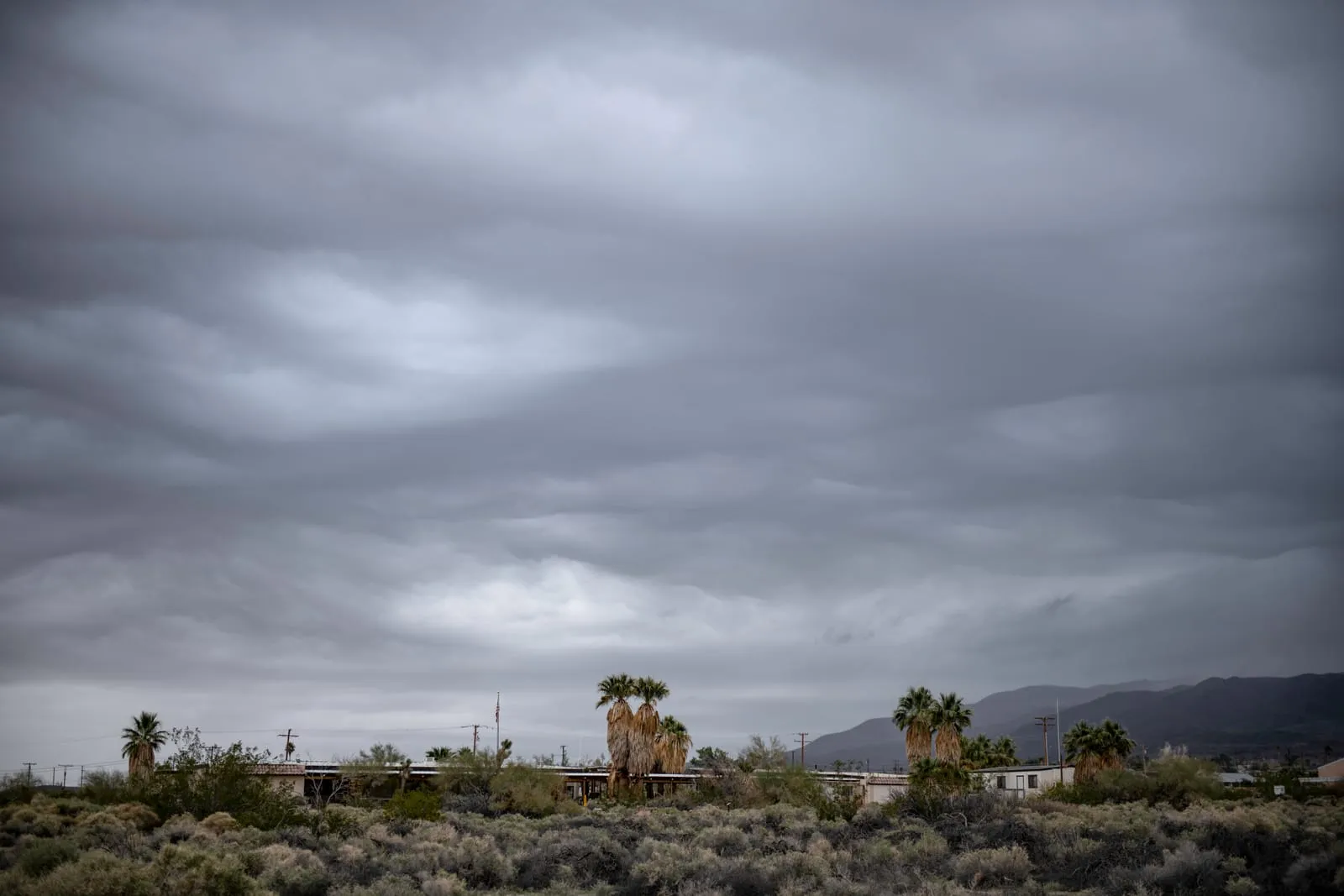
Every winter, weather bulletins across the Levant warn of an “incoming low,” and people reach for umbrellas and heavier coats. But what is a low pressure system, exactly, and why does it almost always mean clouds and rain? This guide explains it simply: how lows form, how they differ from highs, the types that affect the Middle East, and how to spot one on a weather map.
What is a low pressure system?
Air has weight, and the weight of the column of air above any spot is what we call air pressure. At sea level it averages about 1013 hectopascals.
A low pressure system is an area where the pressure is lower than in the surrounding air. There’s no fixed number that makes somewhere a “low”: what matters is the comparison. A region at 1005 or 990 hPa counts as a low if its neighbours are higher. Lows are also called depressions, and in the broad scientific sense cyclones.
How does a low pressure system form?
At the centre of a low, air rises. That lightens the column of air above the surface, so the pressure drops. Air from the higher-pressure surroundings then flows in to replace it, and that flow is the wind.
The air doesn’t travel straight to the centre, because the Earth’s rotation deflects it (the Coriolis effect). So winds circle a low anticlockwise in the Northern Hemisphere and clockwise in the Southern Hemisphere.
Lows typically form where cold air from the north meets warm, moist air, where the ground heats strongly and warm air rises above it, or over warm seas, as with tropical cyclones.
Low pressure system weather: why rain, wind and cold?
- Rain: rising air expands and cools, its water vapour condenses into cloud, and the cloud can produce rain. We follow that journey step by step in how rain forms.
- Wind: the bigger the pressure difference between the centre and its surroundings, the stronger the wind.
- Cold: many winter lows over the Levant drag a cold air mass behind them from the north, so temperatures fall sharply and snow can settle on high ground.
- Storms: when the rising air is very vigorous, thunderstorms can develop, with lightning and sometimes hail.
Low vs high pressure: what’s the difference?
A high pressure system is the opposite: pressure is higher than around it, and air sinks towards the surface, warming and drying as it goes, so clouds usually clear.
| Feature | Low pressure | High pressure |
|---|---|---|
| Pressure | Lower than surroundings | Higher than surroundings |
| Air movement | Rising | Sinking |
| Wind rotation (Northern Hemisphere) | Anticlockwise | Clockwise |
| Typical weather | Cloud, rain, wind | Fair and settled |
| Map symbol | L | H |
That’s why farmers in Jordan, Syria and Lebanon welcome news of winter lows, while highs bring calm, sunny days, and in winter often frosty nights, because clear skies let heat escape after dark.
Did you know? The lowest sea-level pressure ever measured was inside Typhoon Tip in the Pacific on 12 October 1979: about 870 hPa, more than 140 hPa below average.
Types of lows that affect the Middle East
| Type | When it’s common | What it brings |
|---|---|---|
| Cyprus low | Winter | Centred near Cyprus in the eastern Mediterranean; the main source of winter rain in the Levant |
| Low with a polar air mass | Mid-winter | Severe cold and rain, sometimes snow on high ground |
| Red Sea trough | Mainly autumn, sometimes spring | A tongue of low pressure reaching up from the south; usually dry, but when “active” it can trigger heavy thunderstorms and flash floods |
| Khamsin low | Spring | Moves east from North Africa, preceded by hot, dry, dusty winds |
Jordanian forecasts often describe “a low accompanied by a cold air mass”: the low supplies the rain, and the cold air mass supplies the sharp drop in temperature. A khamsin low, by contrast, is linked more to dust storms and sudden heat than to rain.
How is pressure measured, and how do you read a low pressure system map?
Air pressure is measured with a barometer. Meteorologists use the hectopascal (hPa), which is exactly equal to the older millibar (mb).
On a weather map:
- Isobars are curved lines joining places with equal pressure, much like contour lines on a relief map.
- The low pressure symbol is the letter L, often printed in red, inside closed isobars whose values fall towards the centre. Highs are marked H.
- Tightly packed isobars around a low mean strong winds.
- Fronts often trail from the centre of a low: blue lines with triangles are cold fronts, red lines with semicircles are warm fronts.
Forecasters combine these maps with satellite images and computer models to predict where a low will go, as we explain in how weather forecasts are made.
Frequently asked questions
What is a low pressure system called?
It’s called a low, a depression, or, in the broad scientific sense, a cyclone.
What are the characteristics of a low pressure system?
Lower pressure than its surroundings, rising air, winds circling it (anticlockwise in the Northern Hemisphere), and usually cloud, wind and a chance of rain.
Does every low pressure system bring rain?
No. Rain needs enough moisture in the air. Some lows, such as a khamsin low or an inactive Red Sea trough, can pass with dust and wind but little or no rain.
How long does a low pressure system last?
Most lows affecting the Middle East last roughly one to three days, though some linger if they slow down or another low follows close behind.
Key takeaway
A low pressure system is an area of lower pressure than its surroundings, where air rises and cools to form clouds and rain, and winds circle it anticlockwise in the Northern Hemisphere. Its opposite, the high, brings fair weather. In the Levant, the Cyprus low is the main source of winter rain, khamsin lows bring dust, and an active Red Sea trough can cause flash floods. Whenever you hear that a low is on the way, follow your national meteorological department’s warnings.